  • $323.99
  • Free 30-day Returns
  • Limit 4 per customer.
    Ships from United States.

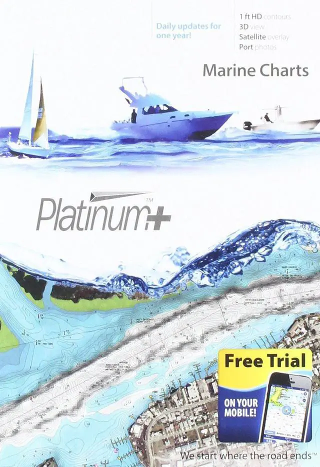
    Platinum+ SD 904 US Ne & Canyons Nautical Chart on SD/Micro-SD Card - MSD/904P+

    Limited time offer, ends 08/20 By YingLiYingMeiKeJi

    • Item #: 9SIVSH6M272338
    • Mfr. Part #: 537316745504
    • UNSPSC: 52161518
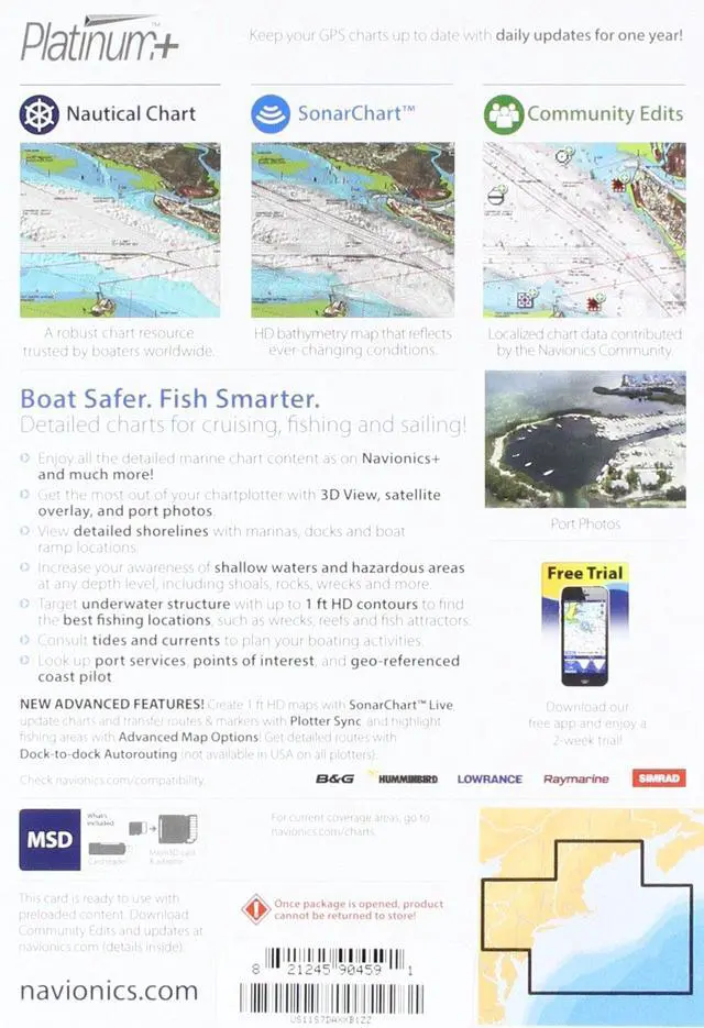
    • Detailed charts for cruising, fishing, and sailing, plus 3D View, satellite overlay, and panoramic port photos. Contains SonarChartTM one foot HD bathymetry map and Community Edits, useful local information contributed by millions of Boating app users. Coverage encompasses from Maine, Massachusetts, New York, Hudson River, North Atlantic Canyons from Passamaquoddy Bay and Grand Manan Island to Shark River Inlet, Oneida Lake, The Finger Lakes, Lake Champlain and all of North Atlantic Canyons. Compatible with New York, Hudson River, North Atlantic, River Inlet, Oneida Lake, The Finger
    +
    +
    Overview
    Specs
    Reviews

    Detailed charts for cruising, fishing, and sailing, plus 3D View, satellite overlay, and panoramic port photos. Contains SonarChartTM one foot HD bathymetry map and Community Edits, useful local information contributed by millions of Boating app users. Coverage encompasses from Maine, Massachusetts, New York, Hudson River, North Atlantic Canyons from Passamaquoddy Bay and Grand Manan Island to Shark River Inlet, Oneida Lake, The Finger Lakes, Lake Champlain and all of North Atlantic Canyons. Compatible with New York, Hudson River, North Atlantic, River Inlet, Oneida Lake, The Finger

    Warranty & Returns

    Warranty, Returns, And Additional Information

    Warranty

    • Please contact the Seller directly for warranty information. Warranty information may also be found on the Manufacturer's website.
    • CONTACT

    Return Policies

    Manufacturer Contact Info

    LOADING...