
Built for How Business Buys.
Your Browsing History
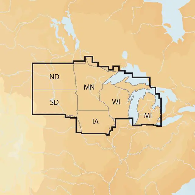
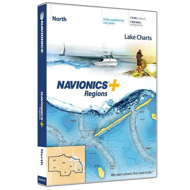
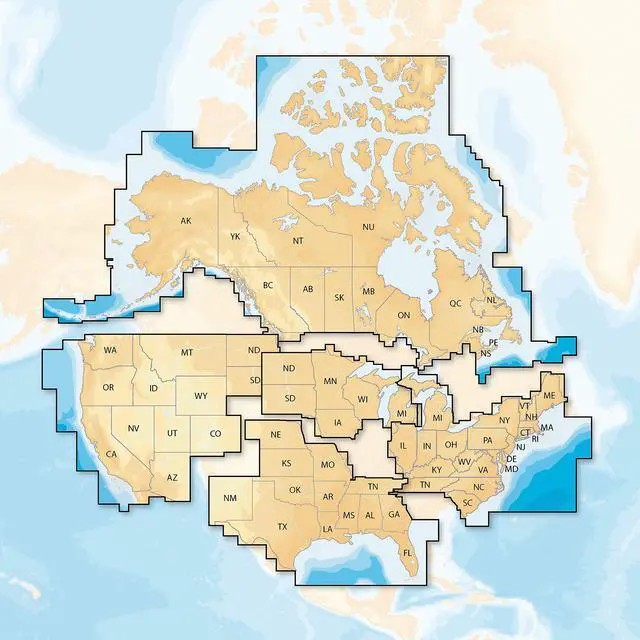


Maximum detailed charts for cruising, fishing, and sailing. Covers over 7,400 lakes in IA, MI, MN, ND, SD, and WI, plus the entirety of Lake of the Woods, Rainy Lake, and US waters of the region's Great Lakes. Contains Nautical Chart, a comprehensive chart resource relied on by boaters globally. Contains SonarChartTM 1-foot HD bathymetry map that shows constantly changing conditions, and Community Edits, useful local information contributed by millions of Boating app users. Receive the most up-to-date charts daily with one year of daily updates
