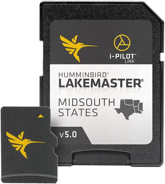
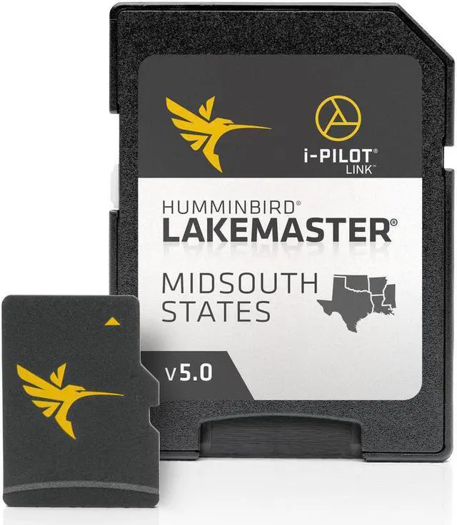
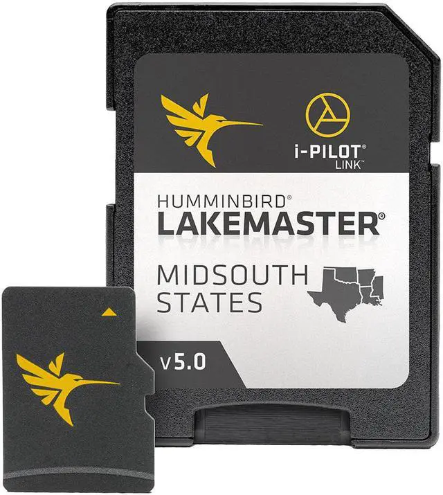
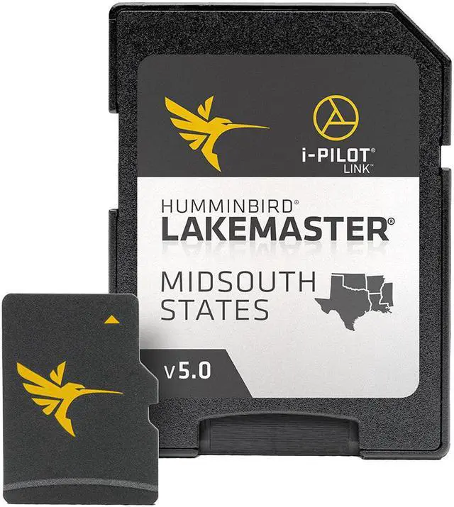
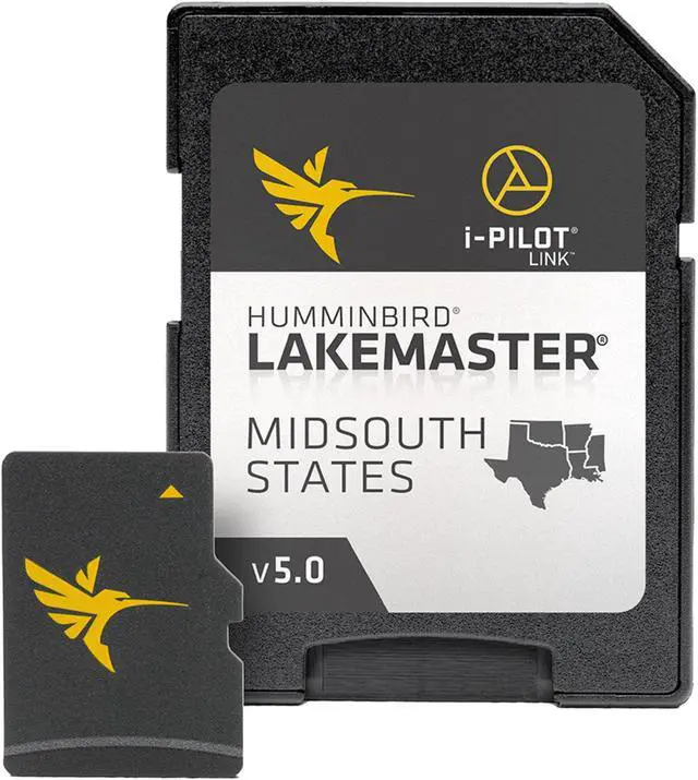
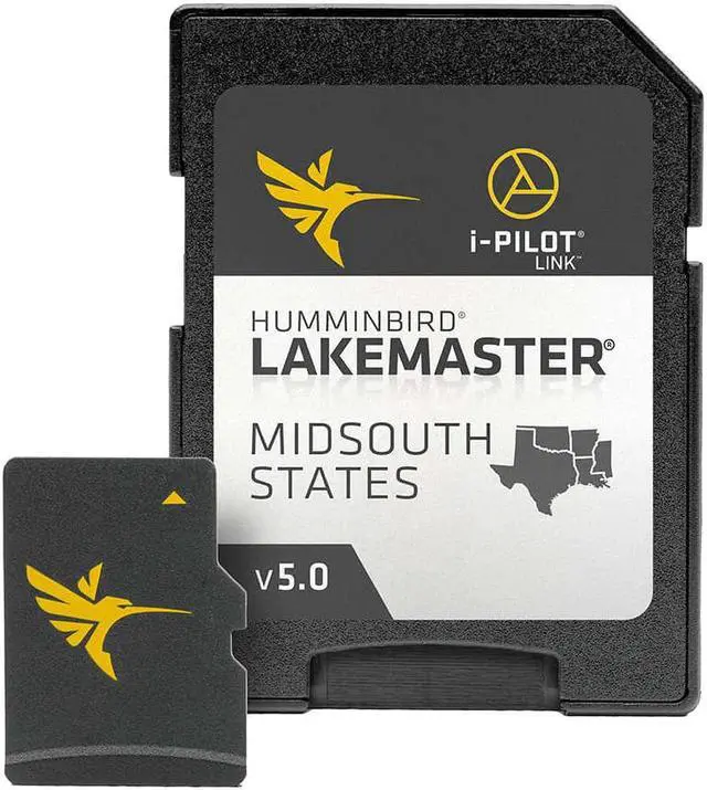
Humminbird LakeMaster Chart- Midsouth States V5
Brand New
Includes 30-Day Cartography Warranty
Product # 600009-9
The Humminbird LakeMaster Chart - MidSouth States is a fishing software that covers a total of over 360 lakes with more than
250 lake maps in High Definition for Texas, Oklahoma, Arkansas, Louisiana, and Mississippi. This map card has added over 80 new lakes, with 55
additional High Definition waters.
LakeMaster Chart - MidSouth States Features:
MidSouth States - Version 5.0
Contours for Over 360 Lakes
Water Level Offset
i-Pilot® Link™ compatible
Easy to read contours
Depth Highlight Range
Water Level Offset
Shallow Water Highlight
Scrollable Lake List
Complete High Definition survey of Toledo Bend, Texas/Louisiana
High Definition survey of:
- Conroe, Texas
- Fork, Texas
- Texoma, Texas
- Ray Hubbard, Texas
- Ray Roberts, Texas
- Atkins, Arkansas