DJI's First Long-Range, High-Accuracy Aerial LiDAR System
DJI's next-generation high-accuracy aerial LiDAR system features a long-range LiDAR capable of reaching up to 950 m even on objects with just 10% reflectivity. Dual 100MP RGB mapping cameras and a high-precision POS system accelerate geospatial data acquisition, enabling daily coverage of up to 100 sq. km.
Hardware Performance Redefined
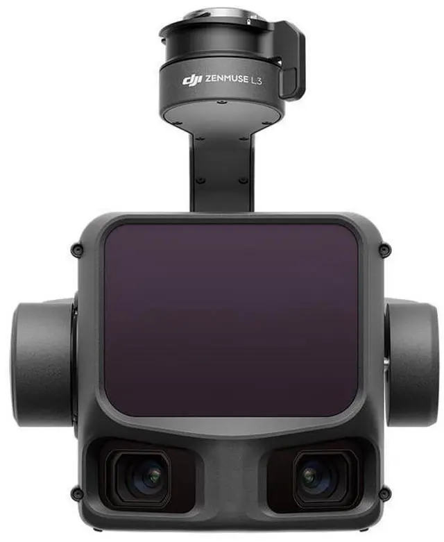
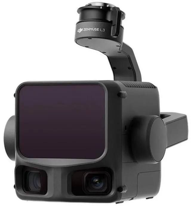
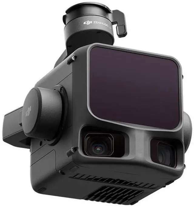
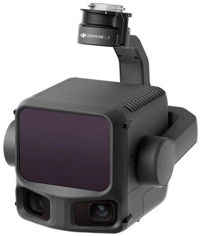
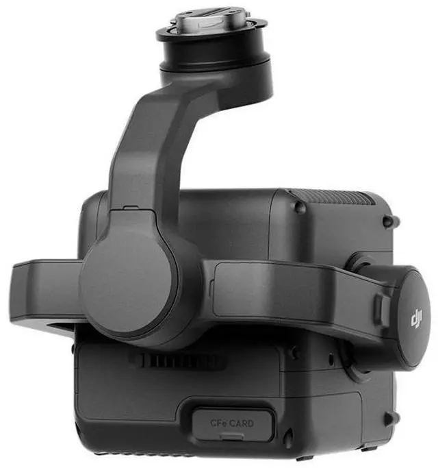
Zenmuse L3 integrates a 1535nm long-range LiDAR, dual 100MP RGB mapping cameras, a high-precision POS system, and a three-axis gimbal, all within a compact device, delivering unprecedented performance for its size.
1535nm Long-Range LiDAR
Long Range, Wide Coverage
Zenmuse L3 achieves a maximum detection range of 950 m at a pulse rate of 100 kHz, tested under 100 klx ambient light and on objects with 10% reflectivity. The adjustable pulse rate allows for flexible power output and optimal adaptation to different operational scenarios. Typical flight altitudes of 300 to 500 m significantly expand single-flight coverage and boost mapping efficiency.
Small Spot, High Energy
With a laser beam divergence of just 0.25 mrad (1/e), the spot size at the same range is about one-fifth that of Zenmuse L2, enabling detection of smaller objects such as power lines and branches. Higher energy density results in stronger penetration capability, significantly increasing ground point density beneath vegetation and enabling high-accuracy reconstruction of complex terrains and structures.
High Pulse Rate, Multiple Returns
With maximum laser pulse emission frequency of 2 million pulses per second and support for up to 16 returns, Zenmuse L3 delivers highly accurate spatial reconstruction. Point cloud density and penetration capability can be adjusted to fit needs from high-accuracy mapping to complex environments.
Scanning Modes
Supports Linear, Star-Shaped, and Non-Repetitive scanning modes for different operational scenarios:
Linear: Achieves more consistent point cloud distribution, ideal for high-accuracy terrain mapping
Star-Shaped: Balances accuracy with multiple scan angles and penetration capability, well-suited for forests or dense urban environments
Non-Repetitive: Provides multiple scan angles and broader coverage, optimized for power line inspections and other complex structural surveys
Dual 100MP RGB Mapping Camera System
Equipped with dual 100MP 4/3 CMOS RGB sensors and a mechanical shutter, Zenmuse L3 delivers significantly enhanced accuracy and efficiency. Pixel binning supports an effective 25MP resolution with larger pixel size, producing superior color reproduction even under poor lighting conditions.
107 Degree Ultra-Wide FOV
The dual RGB mapping cameras provide a horizontal field of view (FOV) of up to 107 Degree , allowing each capture to cover a broader area. Even with a 20% LIDAR side overlap ratio, you can capture data for both digital orthophoto maps (DOM) and digital elevation models (DEM) in a single flight, thereby greatly improving operational efficiency.
Accuracy meets Efficiency
Zenmuse L3 delivers significant improvements in both point cloud and RGB accuracy, while raising efficiency to new heights. Paired with DJI Matrice 400, a single flight can cover up to 10 sq. km, enabling up to 100 sq. km of high-accuracy mapping per day. Large-area, high-accuracy results are delivered in a seamless workflow.
High Accuracy
Proprietary High-Precision System
The upgraded high-precision POS system achieves heading accuracy of 0.02 Degree and pitch accuracy of 0.01 Degree . The self-developed LiDAR delivers ranging repeatability of 5mm at 150m and supports microsecond-level time synchronization. Each unit undergoes rigorous factory calibration to ensure consistently reliable survey results.
LiDAR Data Accuracy